
Download a District Map of Quairading here
Download a map of the Town of Quairading here
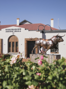
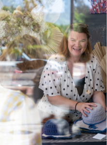
Welcome to Quairading! We are a vibrant and progressive rural council, rich in history and a strong community spirit, offering opportunities for local and large businesses. We are an inclusive and innovative town and there’s a lot to love about our beautiful part of the world.
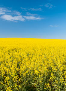
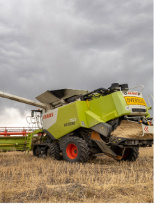
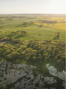
Quairading is located in the Wheatbelt of Western Australia, situated on the York-Quairading Rd, just 1.5 hours drive from metropolitan Perth. Quairading is built on agriculture and our farmers are some of the most innovative primary producers in Australia, producing cereal and grain crops, forestry, wool, sheep and cattle.
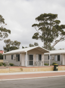
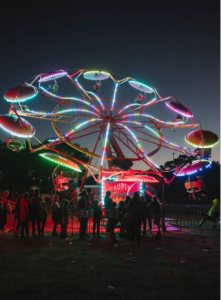
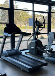
Our thriving town is supported by rural service industries and our community run a range of cultural, sporting and social activities. The town has a variety of modern facilities and amenities to suit individuals, families and retirees.
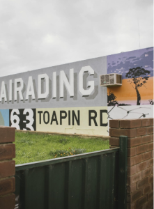
The district includes the localities of Quairading, Pantapin, Yoting, Badjaling, Dangin, South Caroling, Balkuling, Doodenanning & Wamenusking.
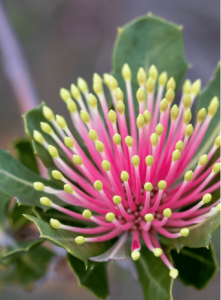
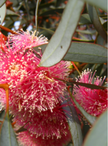
Step outside to the great outdoors and check out the scenic views atop Kokerbin Rock; discover wildflowers and other native wildlife within the Nookaminnie Rock Nature Reserve or soak up the serenity of Toapin Weir or Pink Lake. We’re always open and you’re welcome anytime!
The Shire of Quairading acknowledges that we conduct our business on the traditional lands of the Ballardong Noongar people. We acknowledge and pay respects to the traditional owners and elders past and present.
Our local CRC (Community Resource Centre) produces a newsletter every week which is the best source of up to date info and goings on. You can view copies online here: http://www.quairading.crc.net.au/the-passion-sheet.html


